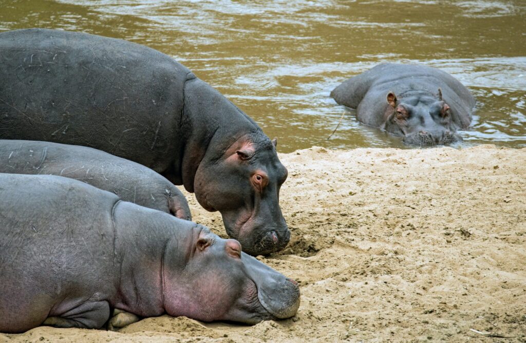
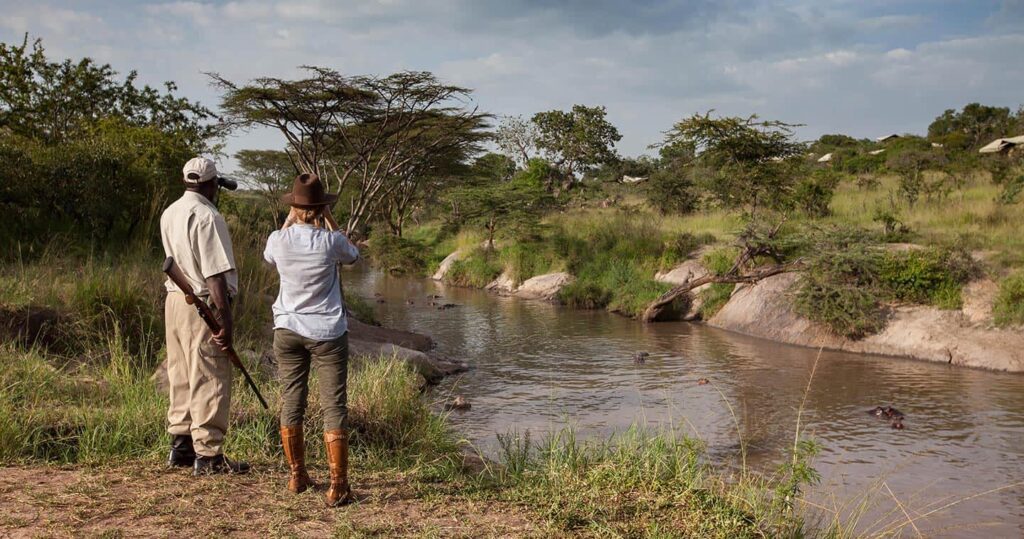
Rivers
In an elevation between 1,600 and 1,800 meters above sea level, the Serengeti Plains have many river catchments drains in the area (3). In the north, there is the Mara River, which flows from the Mau forests in the Kenyan highlands (3). The Mara River is west through northern Serengeti, southwards through the Masai Mara National Reserve, out through the great Masarua marshes, and into Lake Victoria in Musoma (3). This river supports dense riverine forests on its banks and there are parallel catchments of the Grumeti in the South of the Mara River, as well as Mbalaget Rivers that form the Western Corridor of Serengeti National Park (3).
Hills and Mountains
In the Serengeti National Park, bands of hills stretch across (4). One band is from Seronera west along the corridor that forms Central Ranges (4). Another group of hills lies in the south forming the Nyaraboro-Itonjo plateau (4). The third band of hills forms the north-eastern boundary in the woodlands of the Serengeti National Park (4).
Volcanic History
Ancient rocks about 600 million to 2.5 billion years are West of the line Mugumu – Seronera (5). These rocks are mineral-poor granites, Precambrian volcanic rocks, and banded ironstones (5). Granite and quartzite form the eastern hills and kopjes on the East of Seronera (5).
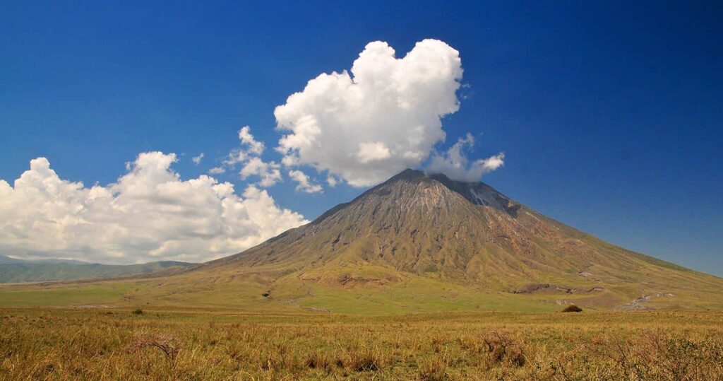
Africa is a pretty old continent, with up to 4 billion years! (6). That is older than North America or Europe! Did you know that you could tell the geological history of Africa from its air? (6)
Have you heard of the East African Rift System? These are areas where two tectonic plates are moving away from one another (7). Some examples of the Rift’s volcanoes are Mount Meru, Mount Kenya, and Kilimanjaro (7).
Kopjes (Kop-eez)
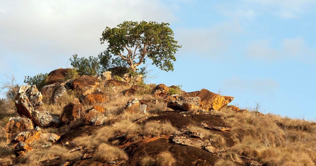
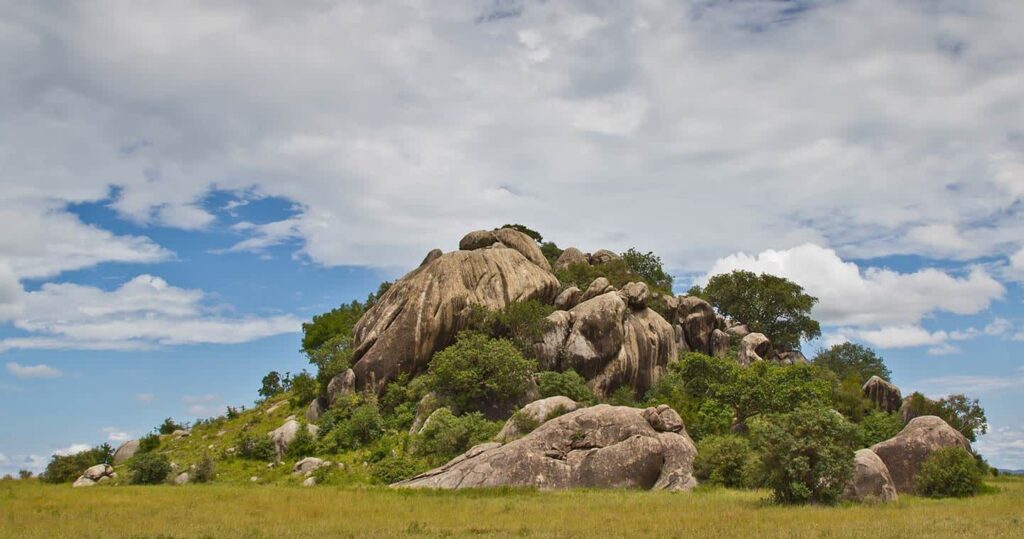
Below volcanic rock and ash, there is a thicker layer of very old rock (8). It is found buried beneath layers of volcanic rock and ash that form the soils of the Serengeti National Park (8). These rocks are round, as their origination came about with a large bubble of liquid granite that came up from the molten rock under the Earth’s crust and into the Tanganyika Shield during the late Precambrian period (8). Once the softer rocks wear off, the liquidated granite appears and that is known as Kopjes (Kop-eez) (8).
Fun fact, their round shape actually comes from the granite being cracked under the severity of the African sun and weathered by the wind to look round or have round bounders on them (8).
Kopjes are referred to as “Islands in the sea of grass” because they are a distinct feature of the Serengeti (9). The Kopjes provide sustenance to the diversity of the Serengeti (9). The Kopjes prevent bushfires, offer hiding places for animals, a vantage for predators, and hold more water in the direct vicinity (9). The Kopjes hold hundreds of plant species that grow on it, but not the surrounding grasslands (9).
Animals that depend on the kopjes to hide from predators and live among there, snakes, lizards, insects, mice, and shrew (9). They are even the most commonplace to find lions! You’ll often encounter lions in the Kopjes, or even occasionally a leopard or cheetah!(9)